
Introduction
The Land Navigation Advisor Course is the new qualification required to instruct navigation elements of the British Army’s Individual Training Requirements (ITR) and replaces the Land Nav SME qualification (refer to MATTs).
Where Does the Course Take Place?
The course takes place at the Royal School of Military Survey (RSMS) at Dennison Barracks, Hermitage.
Who is Eligible to Attend?
Anyone in the rank range of Sergeant to Captain is eligible to attend.
How Long is the Course?
- Regulars and Reserves: 15-day (3 week) course held monthly.
- Reserves: 2-week plus weekend Reserve specific course which is held once per year.
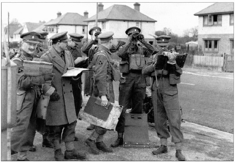
Course Outline
The consists of a mixture of theory and practical theory over three weeks.
- Week 01:
- The first week will mainly focus on teaching trainees about the different co-ordinate systems used in the military and explaining some of the fundamentals behind how those systems were devised.
- Most of the practical training exercises do not involve navigation from one point to another, but are designed to refine your ability to relate the map to the ground from a static position without the aid of a compass.
- As part of the course you will be blindfolded on the bus on the way to the location and then have 10 minutes to find out where you were.
- This is designed to test your ability to judge distance, direction and alignment and is considered crucial for the assessments later in the course!
- Week 02:
- This week will cover the Global Navigation Satellite Systems including GPS.
- Testing in using the issued Defence Advanced GPS Receiver (DAGR) along with civilian GPS devices to ensure trainees are able to put theory into practice.
- Week 03:
- This is primarily an assessment week with 2 written theory tests and 4 practical exercises to complete.
- These assessments can be challenging and will put everything you had learned over the previous 2 weeks to the test.
For anyone interested in attending it is recommended that you spend time revising all the ITR navigation theory along with practising applying the acronym DDCRAPS on the ground (as this will really help you on the course).
DDCRAPS is a mnemonic, standing for:
- Direction
- Distance
- Conventional signs
- Relief
- Alignment
- Proximity
- Shape
It is used for relating features on the ground to find your point on a map (i.e. assist in finding your location).


